Drone. The word strikes shivers in many a humanitarian heart. But these ‘unmanned aerial vehicles’ (UAVs) are increasingly being used to anticipate and enhance emergency efforts to save lives.
Informative maps enhanced by geographic information system (GIS) technology have been game-changers for Doctors Without Borders (MSF) – whether it’s to plan the layout of a large camp, identify the location of boreholes in a cholera outbreak, or track a vaccination as it’s being rolled out.
In Nsanje district in southern Malawi, an MSF team recently used a small drone to conduct an aerial mapping exercise of Makhanga, a 60 square km area that was partially cut off from aid during extensive flooding back in 2015.
Few detailed maps existed of the area, and emergency teams wanted to be prepared in anticipation of the upcoming rainy season.
To start, a pre-programmed drone weighing 700g was launched from various improvised airstrips, including a local football field, and directed to fly below cloud cover while taking multiple photos to create a unique mosaic.
These were layered and compiled to produce an ‘orthophoto’, where the image is geometrically corrected to give it a uniform scale, which was then integrated with geo-referencing software to create a comprehensive map for future responses.
“While GoogleMaps are increasingly powerful, we still work in very remote or highly political areas which often remain completely unmapped. In an emergency, requesting satellite imagery often takes too long, costs too much or offers only very rigid insights,” says Amaury Gregoire, MSF’s Head of Mission in Malawi.
“Drones offer a highly complementary solution to quickly create informative maps that allow teams to understand the scope of the situation and where the population is, and to communicate at a distance with decision-makers and actors on the ground.”
Understanding airspace regulations for launching drones in different areas is critical, although as a new technology, regulations are often still being developed. In Nsanje, the MSF team sought official authorisation from the District Commissioner to fly over the entire district, while alerting the closest air police to the impending launch.
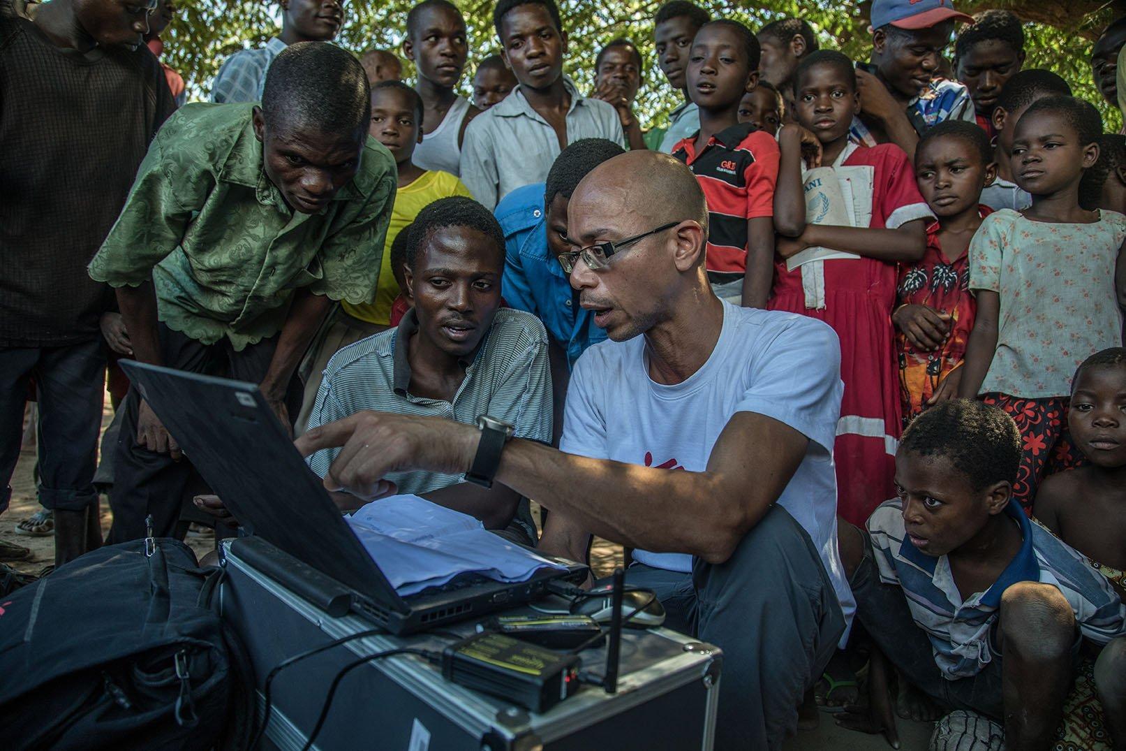
Locally, they enlisted the village chiefs and police who assisted with identifying suitable fields.GIS manager Raphael Brechard, who coordinated the Makhanga mapping, is one of two GIS staff working for MSF in Malawi and Mozambique.
“We’ve had a really positive experience with using drones in creating low-cost, innovative GIS solutions for complex problems, and we’re excited by future prospects,” he says.
“Drone pictures could also help with digital elevation models (DEM) or 3D video to explore the evolution of an emergency, like an earthquake or flooding.
We could even imagine using imagery to create virtual reality apps to remotely support people in emergencies when human access is impossible.
The possibilities are endless.”
To promote the wider use of drones both within MSF and by other humanitarian organisations, the MSF team invited videographer Morgana Wingard to film the event. Footage of failed launches will also be used in trainings for future MSF drone operators.
Find out more about MSF's activities in Malawi.
